Page 4 of 10

Cincinnati and U.S. Weather Lab
Forecast for any place in the Country.
"Weather is All Around Us...."
Welcome! We cover All the Weather, All the Time - Hurricane Analysis'
Article Index
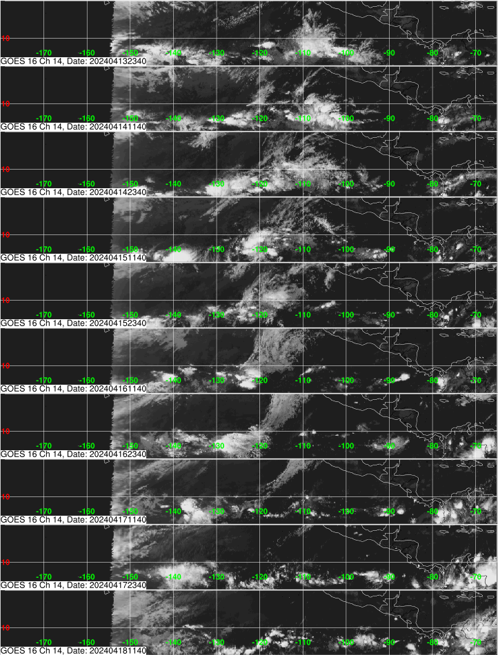
Tropical System Page

Two Cones of Uncertainty now aimed on Fla. First is TS Fred, who continues to strengthen and models moving this system further West with each run. The second system appears to be a Tropical depression, soon to be Tropical storm Saddie. Floridians should be in tune with their local NWS office and heed watches and warnings as they are posted.
History - very interesting!
TROPICAL CYCLONE CLASSIFICATIONS
|
Tropical Depression (numbered)
|
20 - 34 knots |
|
Tropical Storm (named)
|
35 - 64 knots |
|
Hurricane (named)
|
65 knots or higher |
Saffir-Simpson Scale
| Category | Wind - KTS | Wind - MPH | Pressure - MB |
| 1 | 64 - 82 | 74 - 95 | > 980 |
| 2 | 83 - 95 | 96 - 110 | 965 - 979 |
| 3 | 96 - 112 | 111 - 129 | 945 - 964 |
| 4 | 113 - 136 | 130 - 156 | 920 - 944 |
| 5 | > 137 | > 157 | < 920 |
Tropical Cyclone Formation Probability Guidance Product
| Area Buoys latlon appr |
42059 15.0N 67.4W |
42085 17.8N 66.5W |
41053 18.5N 66.0W |
41043 21N 65W |
SRBV3 17.8N 64.7W |
41052 18.3N 64.7W |
42060 16.5N 63.5W |
BARA9 17.6N 61.8W |
41044 21.6N 58.7W |
TJUA radar status |
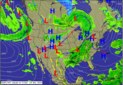
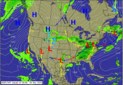
Graphical Forecast |
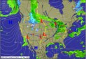
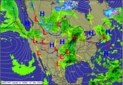
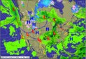
Watch Florida, the Keys and parts of the Gulf for precipitation:

MIMIC-TPW ver.2 *TPW (Good Resource).

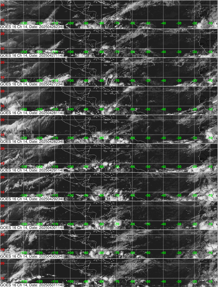
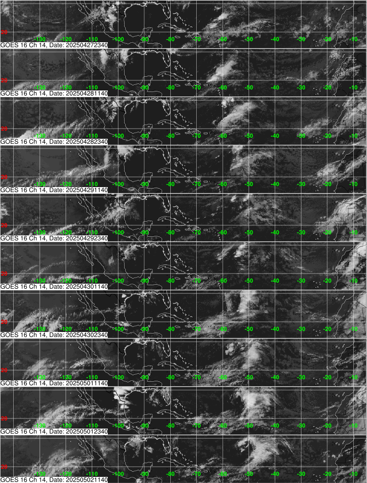
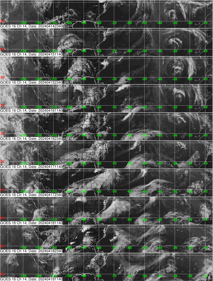
Tropical System Models - see Tropical Tidbits.


